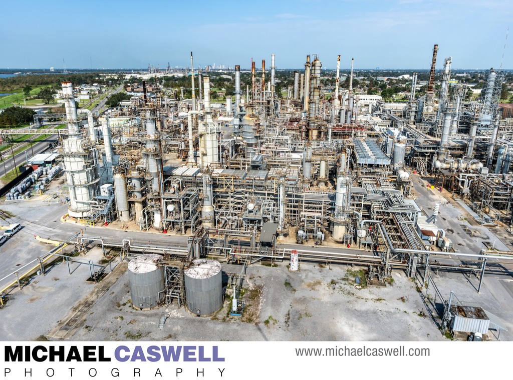
This aerial photograph of an oil refinery facility near New Orleans was captured as part of an initial assessment shortly after Hurricane Ida in 2021 to evaluate the possible damage the facilities may have suffered from the storm. The industry group conducting the assessment chartered a helicopter for this shoot, and although these kinds of images can be certainly captured with a drone, this particular job was best suited for a helicopter, as it involved photographs of six different industrial facilities spread across a fairly wide area, east, west, and south of the city, and a need for a rapid turnaround that would have been difficult if not impossible to accomplish in the necessary timeframe without the ability to quickly move from location to location by air.
Location: New Orleans, LA.